Tuesday, April 12, 2011
Lab 3: Digital Mapping
View Summer Vacation in Oahu, Hawaii in a larger map
This is a map of some of the itinerary when my family and I went to Oahu, Hawaii for our family vacation. Leaving from LAX Airport, we flew across the Pacific. 4 - 5 hours later, we have arrived at the Honolulu International Airport. We have purposely booked the hotel that is close to the airport and as well to Waikiki Beach. The beautiful hotel with oceanview room is very relaxing.
After sitting for about 4 - 5 hours long, the best way to stretch your muscles and get the blood flowing again is to take a hike to the Diamond Head Crater Park. The fresh air and amazing view of sunset from the top of the head is something that every tourist should experience. As soon as the sun set on the horizon, we took all of our gatherings and went to dine at Bali Steak & Seafood. This fine dining experience viewing the ocean from inside the restaurant was a cherry on top of an amazing adventurous day. Now if you're like my mom, you can't just pass the opportunity to go to a flee market, especially when it's located next to our hotel. The International Market Place is a really unique place to get exotic souvenirs and sentimental from Hawaii. That concludes our day 1 of our Hawaiian vacation.
Since day 1 was all dedicated to Waikiki Beach, on day 2, we have decided to explore the other side of the island and travel through the entire perimeter. Day 2 started off with brunch at the Dole Plantation. Everything served in Dole Plantation came straight from the ground. After we had our little brunch, we decided to check out the North shore waves. North Shore is known to have one of the biggest wave in the United States. Unfortunately, the waves got too big and all of us are amateurs at surfing. So we went to go check out the Waimea Falls and spent the rest of the day horseback riding at Gunstock Ranch. Once again, we concluded the day at a fine dining ocean front restaurant called Town & Country Surf Shop.
On day 3, we decided to get in touch with history. After breakfast, we went to Pearl Harbor to get the sense of the pass. This is definitely a great way to honor our troops both who have died and those who are fighting to protect our country. Right after lunch, we went to go check out the Polynesian Cultural Center. This is a place where different pacific islander cultures come together and put together an amazing performance throughout the day. My favorite part was the great outdoor luau and the grand finale of the show.
These are some of the things we did when we took our vacation in Hawaii. There are definitely much more different stuff you can do in Hawaii. It did not get its reputation of being called a "paradise" for nothing.
Wednesday, April 6, 2011
Lab 2: USGS Topographic Maps
1. What is the name of the quadrangle?
Beverly Hills Quadrangle
2. What are the names of the adjacent quadrangles?
Quadrangle #:
1. Canoga Park 2. Van Nuys 3. Burbank 5. Hollywood 7. Venice 8. Inglewood
3. When was the quadrangle first created?
1996
4. What datum was used to create your map?
North American Datum of 1983 and National Geodetic Vertical Datum of 1929
5. What is the scale of the map?
1:24000
6. At the above scale, answer the following:
a) 5 centimeters on the map is equivalent to how many meters on the ground? 1200 meters
b) 5 inches on the map is equivalent to how many miles on the ground? 1.8936 miles
c) one mile on the ground is equivalent to how many inches on the map? 2.64 inches
d) three kilometers on the ground is equivalent to how many centimeters on the map? 125 centimeters
7. What is the contour interval on your map? 20 feet
8. What are the approximate geographic coordinates in both degrees/minutes/seconds and decimal degrees:
a) the Public Affairs Building;
34 degrees 4 minutes 22.5 seconds North, 118 degrees 26 minutes 15 seconds East
34.0729 degrees North, 118.4375 degrees East
b) the tip of Santa Monica pier;
34 degrees 0 minutes 25 seconds North, 118 degress 30 minutes 0 second East
34.4167 degrees North, 34.5 degrees East
c) the Upper Franklin Canyon Reservoir;
34 degress 6 minutes 55 seonds North, 118 degreees 20 minutes 30 seconds East
34.115 degrees North, 118.342 degrees East
9. What is the approximate elevation in both feet and meters of:
a) Greystone Mansion (in Greystone Park); 560 feet
b) Woodlawn Cemetery; 140 feet
c) Crestwood Hills Park; 640 feet
10. What is the UTM zone of the map? zone 11
11. What are the UTM coordinates for the lower left corner of your map? 37630000, 3620000
12. How many square meters are contained within each cell (square) of the UTM gridlines? 1000 meters
13. Obtain elevation measurements, from west to east along the UTM northing 3771000, where the eastings of the UTM grid intersect the northing. Create an elevation profile using these measurements in Excel (hint: create a line chart). Figure out how to label the elevation values to the two measurements on campus. Insert your elevation profile as a graphic in your blog.

14. What is the magnetic declination of the map? +14
15. In which direction does water flow in the intermittent stream between the 405 freeway and Stone Canyon Reservoir? toward East.
16. Crop out (i.e., cut and paste) UCLA from the map and include it as a graphic on your blog.

Tuesday, April 5, 2011
Lab 1: SSC, SOD Survey and a Blog

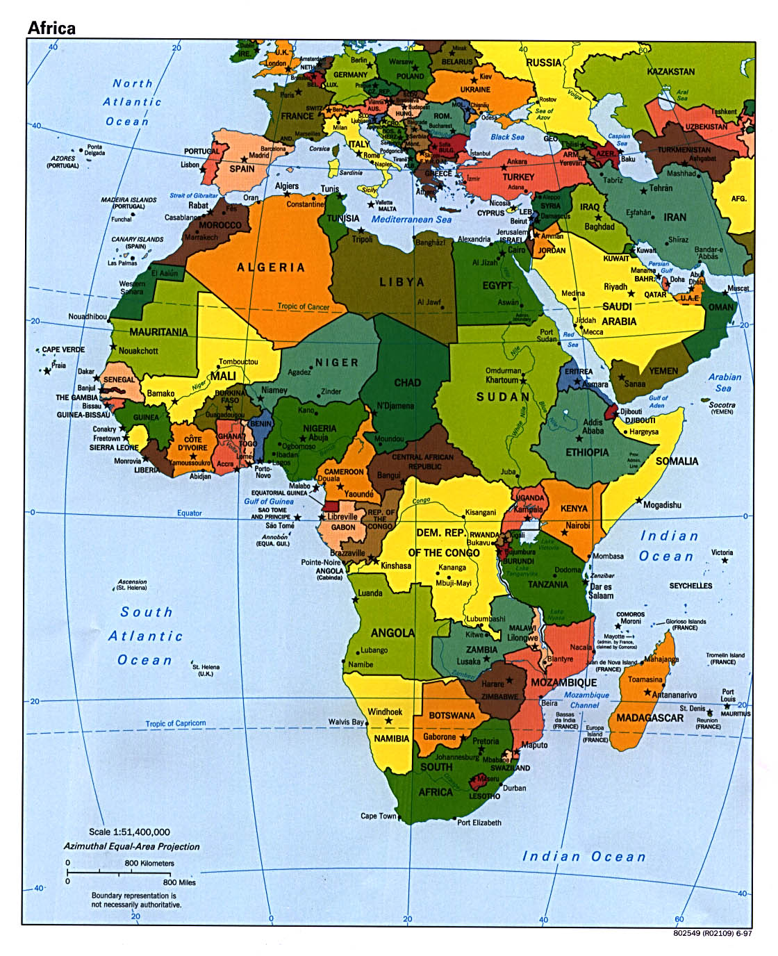
This is a map of Africa. The different color has no meaning. It's purpose is just to separate between the countries. At the lower left hand is the scale of the map. Notice that this map is a small scale even though it covers a large area of land.

This is the world's map. Again, the different color has no significance other than to separate between countries. Unlike the map of Africa, this map is showing large area of land therefore this map has a small scale. You can see at the bottom left corner that a few centimeter is thousands of kilometer in the real world. This map is not complete because it does not show the scale ratio between map and land.

Unlike the previous two maps, the coloring on this map provides several information. This is a map of the world's religion. We can see there is high intensity of people with a particular religion in one region and low intensity in another. This map also tells us about the diversity of religion group around there world. It is interesting how much this map overgeneralize the religion group when in reality there are hundreds more religion unaccounted for.
Subscribe to:
Comments (Atom)